
NATION NEWS DESK 01 FEBRUARY 2021
The nor’easter slamming into the New Jersey and New York City area has already dumped about sixteen inches of snow and shows no sign of letting-up. In fact, based on the path of the low pressure system off the coast, things are about to get WORSE!

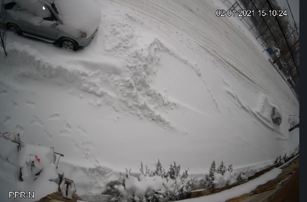
Here is the view outside Hal Turner’s Condo in North Bergen, NJ about three miles due west of the Empire State Building in New York City:

Snow, snow everywhere. And DEEP snow too!

A the center of low pressure continues to travel northward along the New Jersey coastline toward the center of Long Island, it is hurling tons and tons of ocean moisture into the very cold air that came down last week from Canada, and that’s generating just tons of snow.


As the low comes closer to the five boroughs of New York City, winds have begun to pick up. The National Weather Service says we can expect 30-40 MPH winds, with gusts near 50 this evening.
This storm REALLY packed quite a punch, and it’s not over yet.
Forecasters say we can expect continued snowfall very late into this evening, tapering off toward Tuesday morning. (Click to Source)
